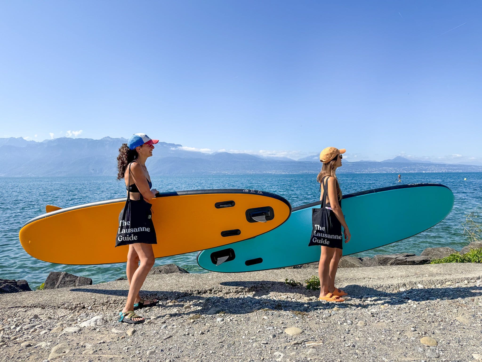
The sun is shining, and the mountains are calling. Here are three easy hikes that you can do in a day and in under an hour’s drive from Lausanne.

Les Plans-sur-Bex to Pont de Nants
Park your car in the village of Les Plans-sur-Bex and then follow the hiking trail along the river and into the woods. Before leaving the village, be sure to admire the traditional chalets and the beautiful little catholic church on the left-hand side of the path before you enter the woods.
The hike takes you along a stunning and powerful river; the incline is mostly steady until the end where it gets only slightly challenging before you arrive in the luxuriously green Pont-de-Nants pastures.
Ultimate perk – one of the best mountain restaurants we know – Auberge du Pont de Nant (http://aubergepontdenant.ch/) – is waiting to serve you. Reservations highly recommended. The restaurant also has rooms for rent.
Time: 45ish minutes up; 30 minutes down
Difficulty: Easy easy easy
Good to know: At Pont-de-Nant, there’s a mountain garden that includes plants from mountain regions all over the world. It’s great for a stroll to walk off your wine before heading back down.

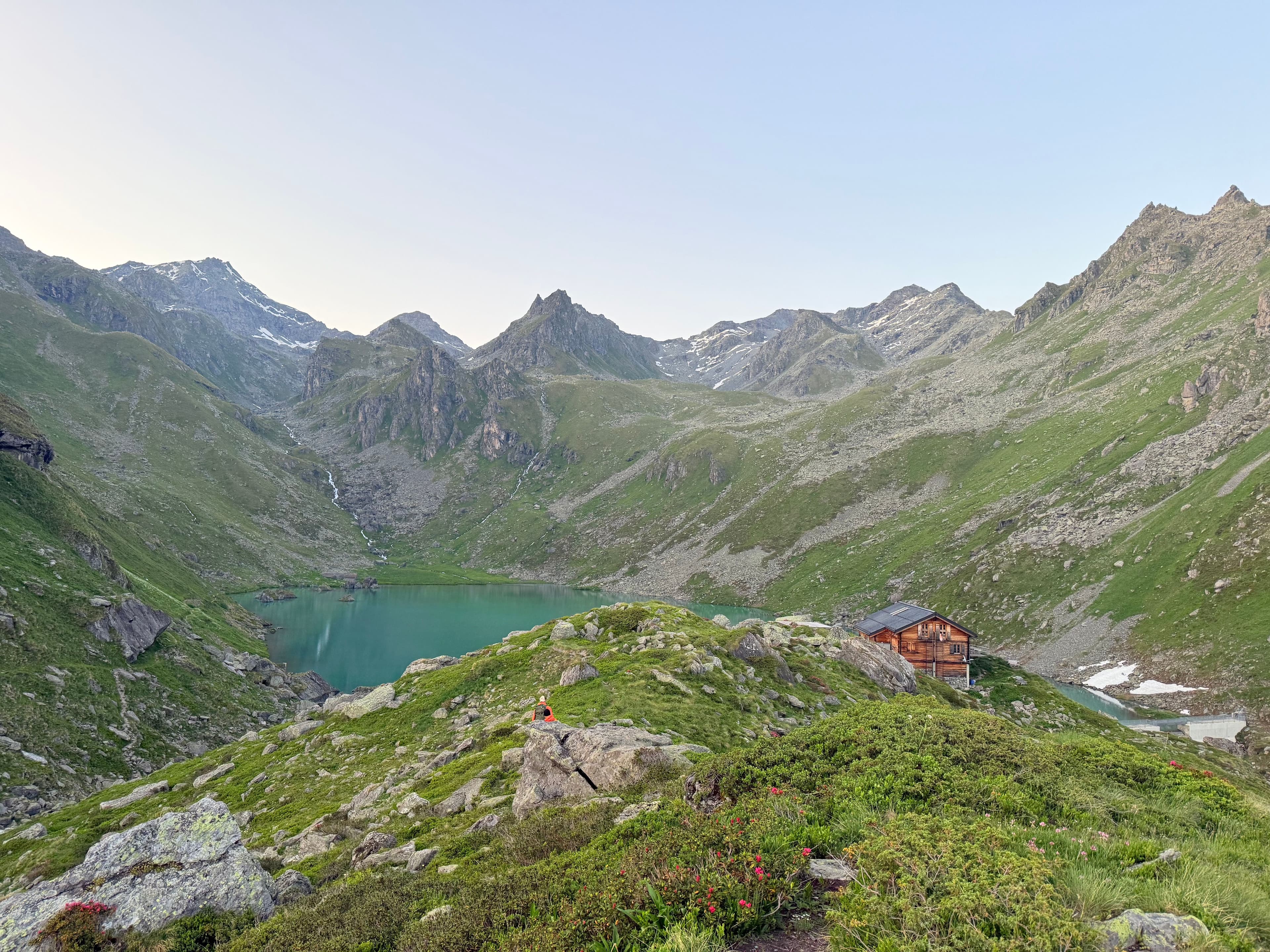
Lac Taney
Lac de Taney is one of those places that’s almost impossible to describe. The hike up from the parking lot in Vouvry is quite steep and a bit tedious; but as soon as you arrive at the top, you’ll forget you ever complained.
It’s like an alternate alpine reality, a dream of sorts. Darling chalets congregate on the shores of perfect mountain lake, swimmers brave the chilled, pristine waters, groups of friends gather around picnics before hiking further up le Grammont. In short, it’s perfect. Absolutely, perfect. Trust us.
If you arrive at mealtime, there are two restaurants serving typical mountain fare. If you want to stay overnight, they both offer rooms for rent.
Time: The hike up is about 1 hour; the hike around the lake takes about 45 minutes; the hike down is 30 minutes or so.
Difficulty: The hike around the lake is very easy; but to get up, you’ll want to be in moderately good shape. If you walk around Lausanne every day, you’ll be fine. But out of town guests unaccustomed to our active lifestyle might struggle.
Good to know: There’s a taxi service you can call from the parking lot. Last we remember, the rate was 30chf a person.

Lac de Montsalvens
Just beyond Gruyeres, between Broc, the village known for the Cailler chocolate factory, and Charmey, the destination for the annual désalpe festival, lies a lesser-known reservoir called Lac de Montsalvens. The emerald blue lake sits low, surrounded by forested trails, wild-flowered meadows filled with cows grazing, gushing rivers and streams, and of course, an impressive alpine backdrop.
The appeal of this hike is it’s not technical or steep so it can be done with younger members of the family, it’s quite shaded by the trees, and it’s (technically) a loop–so you end up where you started without having to backtrack. There are spots along the way to picnic, fish, or BBQ–but we didn’t see anyone swimming as there aren’t really appealing ‘beaches’ or shorelines along the reservoir.
Time: The tourism website quotes this hike as 10km, but our GPS tracked our loop as closer to 14km, which took our family (with kids ages 4 and 6) 3.5 hours.
Difficulty: Easy. It’s a perfect hike if you feel like getting out in nature and having a longer stroll.
Good to know: The appeal to this hike really relies on your willingness to complete the entire loop. If you decide to go just for a section of it, you may get stuck in the forested section and miss out on seeing the lake entirely. Also, there are some cool little parts of the hike (a suspension bridge you have to cross, the dam, or fun waterfalls) that you want to be sure to find.
We found the tourism websites somewhat misleading in terms of where to start the hike. We got lucky, and parked/started the hike on Chemin du Lac and followed the yellow hiking signs and our entire walk was lovely! It may be helpful to have your phone tracking where you begin and help you continue finding your way as sometimes the trail isn’t completely obvious.